Linkek a témában:
Historic Cities
This site contains maps, literature, documents, books and other relevant material concerning the past, present and future of historic cities and facilitates the location of similar content on the web. Read more about the project...
Pictorial maps
The history of pictorial maps overlaps much with the history of cartography in general and ancient artifacts suggest that pictorial mapping has been around since recorded history began.
In Medieval cartography, pictorial icons as well as religious and historical ideas usually overshadowed accurate geographic proportions. A classic example of this is the T and O map which represented the three known continents in the form of a cross with Jerusalem at its center. The more precise art of illustrating detailed bird’s-eye-view urban landscapes flourished during the European Renaissance.
Selected Maps of the Holy Land
Tracks to The Promised Land: Selected Maps of the Holy Land
Hirdetés
Hirdetés

University of Florida – Maps of the Holy Land
In the entries that follow this introduction, the maps are organized by five conventional ages of cartography. Within these periods the entries are organized by countries in order of their prominence in mapmaking during the height of the Age. The entries are then organized by date and cartographer. Each cartographer is entered under his oldest dated map. If he has multiple entries, they will directly follow his first map regardless of date. Within this grouping the entire body of work for a cartographer can be seen at a glance. If two dates are given in an entry, the first represents the date of the map content. The second date is a different publication or printing date. When the first date in the entry is in parenthesis it means the map held by the UF Library is the same map but issued in a different printing.
Várostérkép.lap
Várostérképek az egész világról. Térképek és utcakeresők.
Meghatározás
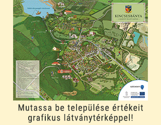
Pictorial maps are a category of maps that are also loosely called illustrated maps, panoramic maps, perspective maps, bird’s-eye view maps and Geopictorial maps amongst others. Pictorial maps usually show an area as if viewed from above at an oblique angle. They are not generally drawn to scale in order to show street patterns, individual buildings, and major landscape features in perspective. While regular maps focus on the accurate rendition of distances, pictorial maps enhance landmarks and often incorporate a complex interplay of different scales into one image in order to give the viewer a more familiar sense of recognition.